
2006, ISBN: 1840139250
Livres de poche
[EAN: 9781840139259], Gebraucht, guter Zustand, [PU: Grange, Rochester, Kent], HISTORICAL MAPS, MARITIME EXPLORATION, EARLY EUROPEAN NAVIGATORS, A Fine unmarked copy. 255 pages. Profusely… Plus…
| AbeBooks.de Goldring Books, Eastbourne, United Kingdom [65441306] [Rating: 5 (von 5)] NOT NEW BOOK. Frais d'envoi EUR 20.59 Details... |

2006, ISBN: 9781840139259
(Hoo: Grange Books, 2006) 1840139250. 162 x 146 mm; laminated pictorial wrappers; pp. 255, incl. index; lavishly illustrated in full colour. Fine condition. "Maps, even those dating … Plus…
| Biblio.co.uk |
2006, ISBN: 9781840139259
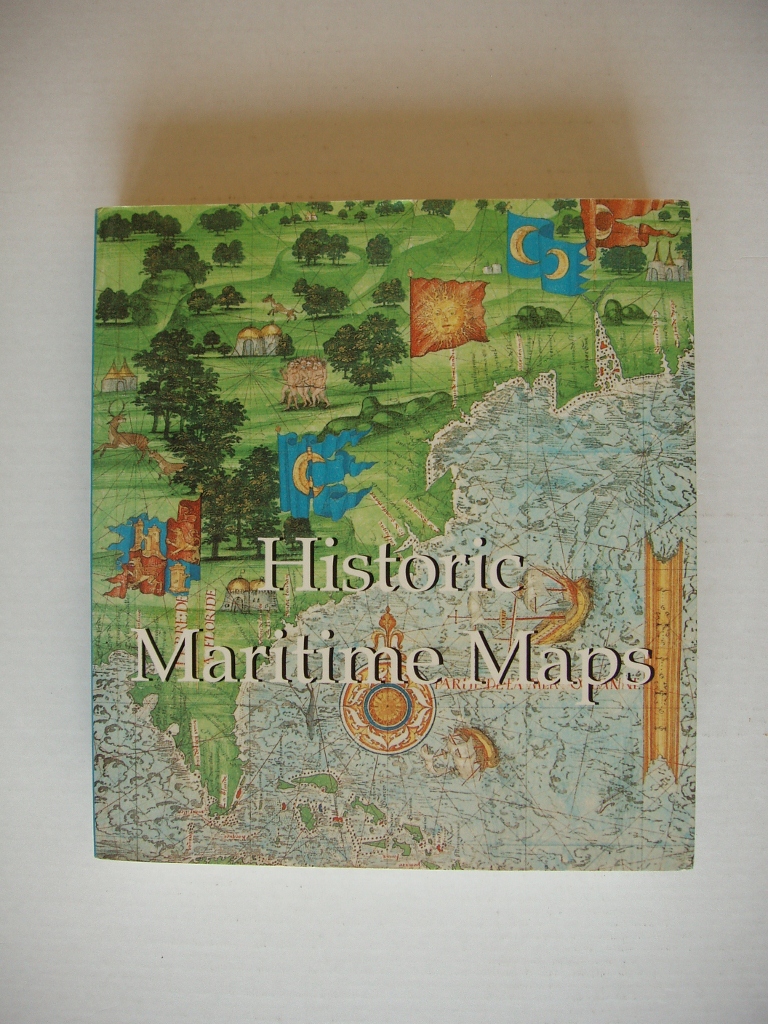
Rochester, Kent: Grange, 2006. A Fine unmarked copy. 255 pages. Profusely illustrated. This book presents a selection of ocean-going charts dating from the 13th century to the 17th centu… Plus…
| Biblio.co.uk |

2006, ISBN: 1840139250
[EAN: 9781840139259], Gebraucht, sehr guter Zustand, [PU: Grange Books 15/11/2006], Shipped within 24 hours from our UK warehouse. Clean, undamaged book with no damage to pages and minima… Plus…
| AbeBooks.de Bahamut Media, Reading, United Kingdom [56522875] [Rating: 5 (von 5)] NOT NEW BOOK. Frais d'envoi EUR 1.71 Details... |
2006, ISBN: 9781840139259
Paperback, All pages and cover are intact. Possible slightly loose binding, minor highlighting and marginalia, cocked spine or torn dust jacket. Maybe an ex-library copy and not include t… Plus…
| alibris.co.uk |

2006, ISBN: 1840139250
Livres de poche
[EAN: 9781840139259], Gebraucht, guter Zustand, [PU: Grange, Rochester, Kent], HISTORICAL MAPS, MARITIME EXPLORATION, EARLY EUROPEAN NAVIGATORS, A Fine unmarked copy. 255 pages. Profusely… Plus…

2006, ISBN: 9781840139259
(Hoo: Grange Books, 2006) 1840139250. 162 x 146 mm; laminated pictorial wrappers; pp. 255, incl. index; lavishly illustrated in full colour. Fine condition. "Maps, even those dating … Plus…
2006
ISBN: 9781840139259
Rochester, Kent: Grange, 2006. A Fine unmarked copy. 255 pages. Profusely illustrated. This book presents a selection of ocean-going charts dating from the 13th century to the 17th centu… Plus…
2006, ISBN: 1840139250
[EAN: 9781840139259], Gebraucht, sehr guter Zustand, [PU: Grange Books 15/11/2006], Shipped within 24 hours from our UK warehouse. Clean, undamaged book with no damage to pages and minima… Plus…
2006, ISBN: 9781840139259
Paperback, All pages and cover are intact. Possible slightly loose binding, minor highlighting and marginalia, cocked spine or torn dust jacket. Maybe an ex-library copy and not include t… Plus…
Données bibliographiques du meilleur livre correspondant
| Auteur: | |
| Titre: | |
| ISBN: |
Informations détaillées sur le livre - Maritime Maps (Mega Squares)
EAN (ISBN-13): 9781840139259
ISBN (ISBN-10): 1840139250
Version reliée
Livre de poche
Date de parution: 2006
Editeur: Grange Books
256 Pages
Poids: 0,499 kg
Langue: eng/Englisch
Livre dans la base de données depuis 2008-06-29T12:16:17+02:00 (Paris)
Page de détail modifiée en dernier sur 2022-10-01T16:15:30+02:00 (Paris)
ISBN/EAN: 9781840139259
ISBN - Autres types d'écriture:
1-84013-925-0, 978-1-84013-925-9
Autres types d'écriture et termes associés:
Auteur du livre: mega, donald wigal, confidential, square
Titre du livre: maritime maps, mega, about squares
Autres livres qui pourraient ressembler au livre recherché:
Dernier livre similaire:
9781597640190 Historic Maritime Maps, 1290-1699 (Temporis) (Wigal, Donald)
< pour archiver...